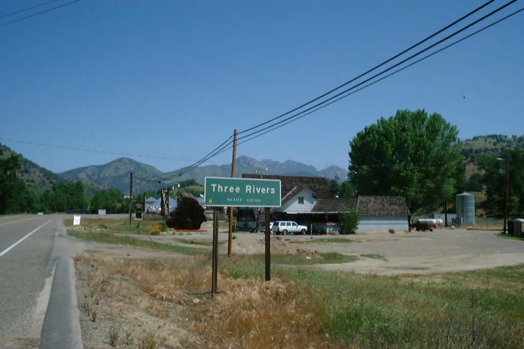
In April 2000 Linda was headed to Walt Disney Imagineering in California for meetings about the new Space Pavilion at Epcot. Danielle and I decided to tag along, to visit grandparents. I also conceived the idea of visiting my childhood summer haunts in Three Rivers, just below Sequoia National Park.
Saturday, April 22, 2000
To avoid any Easter morning angst, Danielle celebrated Easter with an egg hunt and baskets Saturday. I say baskets, because she had her friend Megan staying over Friday night, and they both got an Easter basket on Saturday. Saturday evening Linda, Danielle, Nicole and I went to A Chorus Line at the Mark Two Theater. They did a commendable job with their limited facility. It was amusing to see the changes that had been made to the names of popular movie stars since we saw it at the Shubert in L.A. back in the mid ’70s.
Easter Sunday, April 23, 2000
We were up at 6:00 AM to head for the airport. Coupled with the late night before, Danielle was pretty much comatose until we got to the airport. Disney no longer uses Delta, so Linda ended up with a United non-stop. Danielle and I got free first class Delta ticket with SkyMiles, but had a connection in Atlanta. We met up at Marjorie and Dean’s house at about 3:00 PM for a nice Easter dinner of Honey Baked Ham and smoked turkey. Then it was off to the Glendale Hilton (Linda had already checked in) for a very early bedtime.

Monday, April 24, 2000
Still on East Coast time, Danielle and I were up and out by 7:00 AM. We exchanged our Oldsmobile Alero for a Pontiac Grand Am at the Burbank Airport (the Alero went thump-thump-thump at freeway speeds) and then headed north, stopping for breakfast in Castaic (near the site of the St. Francis dam disaster of 1928, although you couldn’t tell it now). Beyond Bakersfield we took the cutoff through Porterville, drove through an A&W Root Beer stand for something to drink in Exeter, and stopped to peer into a cricket cage at a tackle shop in Lemon Cove. By 11:30 AM we were in Three Rivers.
Lake Kaweah was surprisingly low, considering that the spring melt had already begun. Sometime in the mid ’70s they moved the marina down near the dam so that they could let the water drain lower in the fall (for flood control in the winter). After so many years of going out on the boat at the old location, it still looks like it’s in the wrong place to me. The houseboats looked the same, although I doubt that any of them are floating on plywood boxes full of empty Purex bottles any more! I recalled the spring of 1966, when flooding filled the lake to the brim, and water was running over the four feet of sandbags they’d added to the spillway. The surface had been covered from shore to shore with so much debris – tree stumps, building materials, branches, anything that would float – that it looked as if you could walk across it.
Above the lake we passed what used to be Metz’s Trailer Park, now some sort of cabin rentals. Across the street was the Three Rivers General Store, which we used to call Harry’s. Harry seemed to have at least one of everything ever made. It seemed that no query could stump him – with enough rummaging he would come up with whatever you needed, or a reasonable substitute. The store was still there and looked like it was in business, but it was closed.
There was a new Holiday Inn Express on the right (quite an eyesore), and a new hotel and restaurant under construction on the left. Other than these, we saw very little recent construction throughout the area. Some business have come and gone, but the buildings are unchanged. Three Rivers was amazingly similar to when I last visited, some 25 years ago. I was amazed at how accurate most of my memories had been, especially considering that they were largely forged when I was ten or twelve. Even the map that I drew for A Matter of Justice had only minor errors in it: the gas station too far north by 100 yards, the first part of North Fork Drive too perpendicular to 198.
Our first stop was at the Supermarket and Drugstore. Danielle bought a few souvenirs and collected twigs to make a picture frame. Continuing on into town, I didn’t see the golf course clubhouse, but there seemed to be a new structure near the first hole.
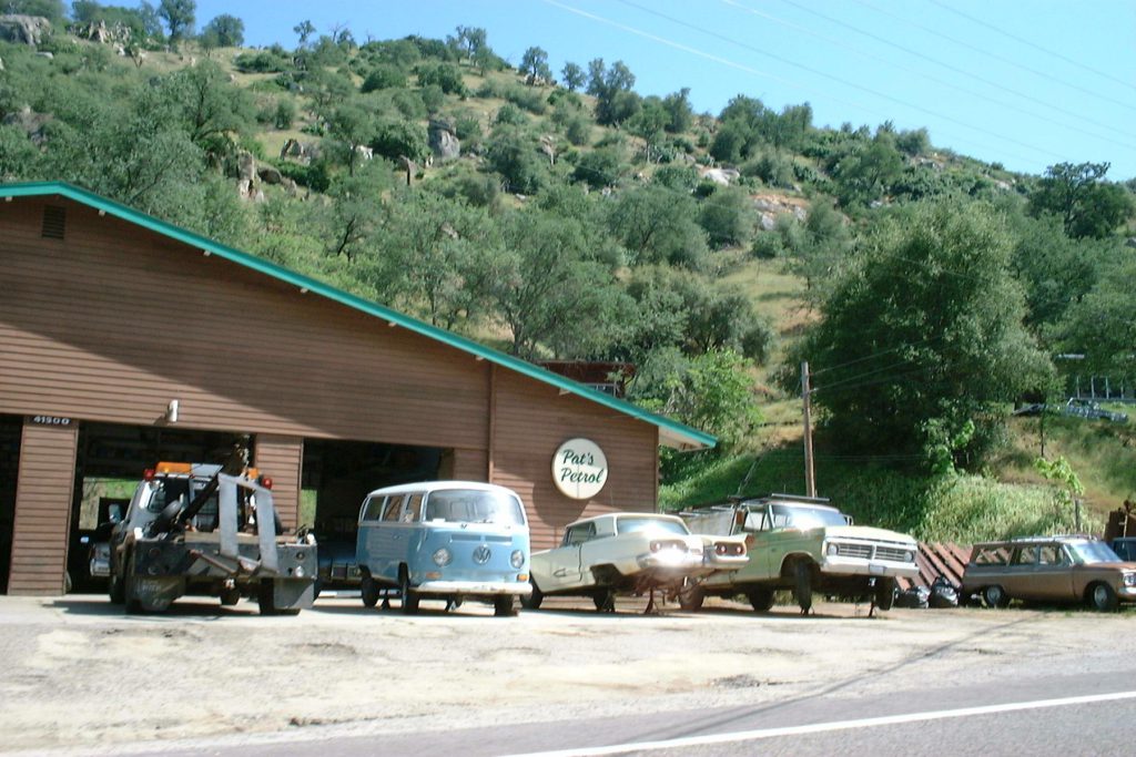
Pat O’Connell’s gas station is still there, although they’re just a towing service and wrecker yard now. I guess when the new gas tank regulations came in it was too expensive to change the tanks. We found out later that Pat, who must be in his seventies, still runs the place.
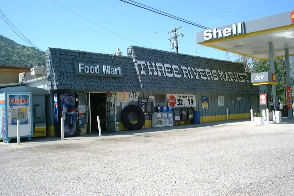
Three River’s “downtown” still looks almost exactly the same. Pat Lang’s emporium, a sandwich and gift shop, is still at the corner of North Fork Drive and 198. The strip of buildings running north from there on 198 is identical, although many of them are out of business, and most of the rest have changed names.
The Three Rivers Market is unaltered – two gas pumps out front, crowding the façade of the building, narrow rows of everyday staples squeezed inside.
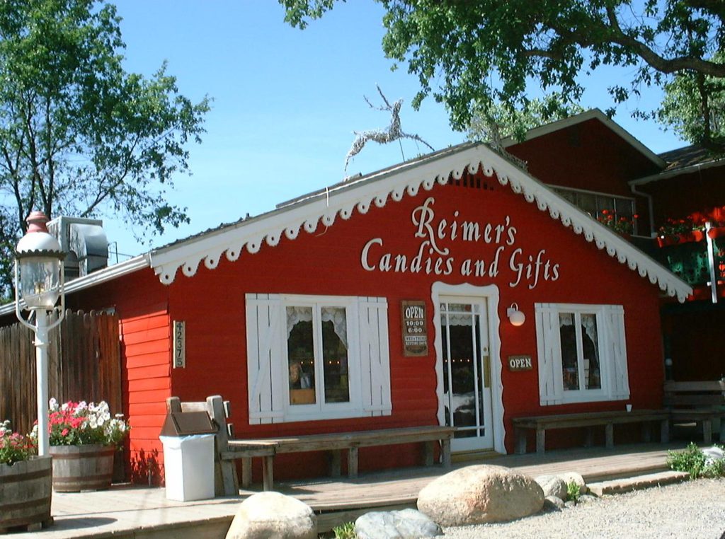
Driving on through town we stopped at Rainer’s Candy Shop, which was the same shop I’d written about in the book, but under a different name. The woman behind the counter, Leslie Fry, was a longtime resident of the area. She reminded me that it had been called Huffaker’s Country Candies in those days. She also mentioned that there was a book called “Sunshine and Buzzards”, written by a local resident, which I might find at Ann Lang’s Emporium. I told Leslie I’d send her a copy of my manuscript.
We drove back to Ann Lang’s for lunch, and I found the book that Leslie had mentioned, and another about the founding of the Kaweah Colony Cooperative in the 1890s. I later discovered that the Kaweah Colony book was written by Pat O’Connell’s son! We asked what building the library had been in – I hadn’t recognized it as we drove past – and learned that it now houses a newspaper, The Kaweah Commonwealth, which was resurrected from a nearly 100 year rest in 1995.
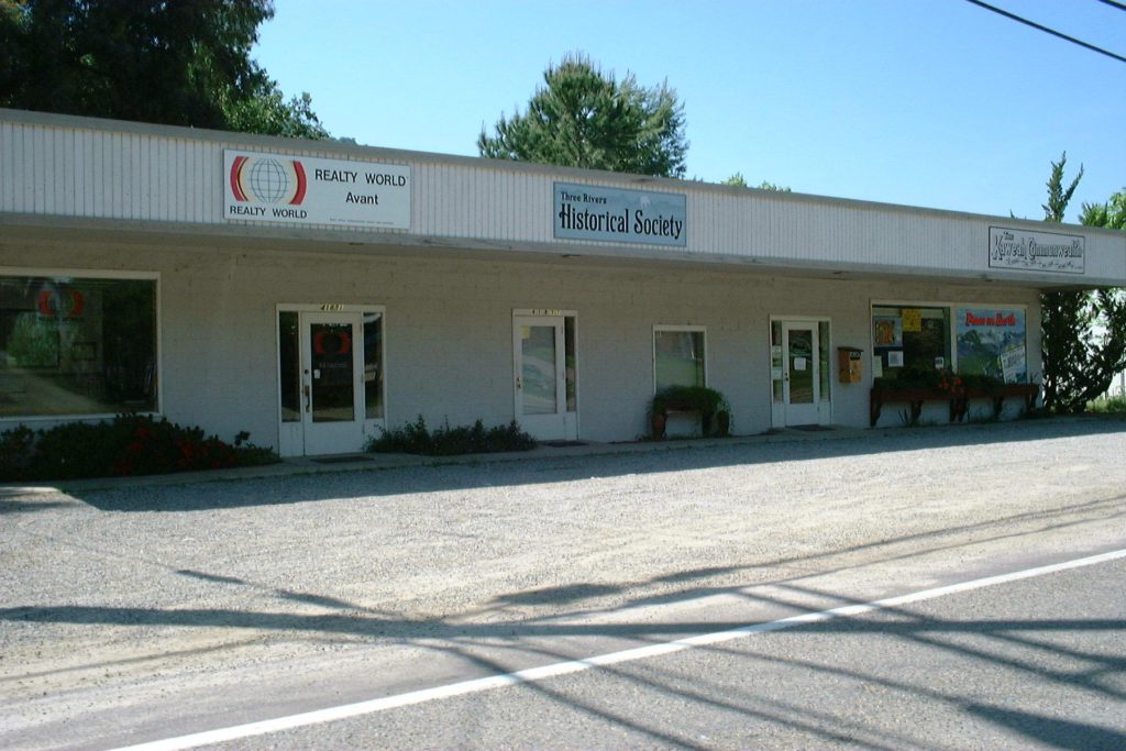
On the way into the newspaper office, we passed on elderly lady coming out. Inside, we asked the publisher, John Elliott, about the library. Indeed, this building (which was even smaller than I remembered) had been the library for many years. He told us that the woman we’d passed on our way in was the daughter of Esther Peck, the librarian of the 1960s! According to John, she ran the library for about 25 years, and died a couple of years ago. John gave us a few back issues of the newspaper, and filled us in on some local history. He asked for a copy of the book to review when it was published, and I told him that in the meantime I’d send him a copy of the manuscript.
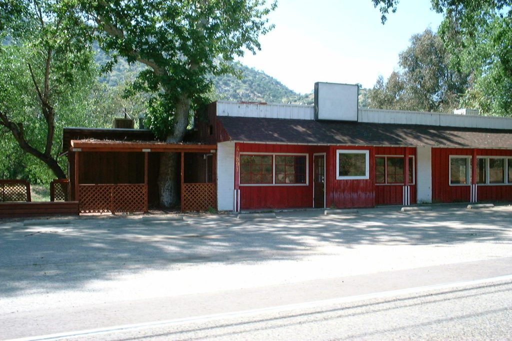
We drove past the Three Rivers Drive In Restaurant, which is now closed. They’ve built a new Chevron station next door. (Apparently the restaurant was also known as Corky’s for a time. Interestingly, I saw a stained glass sign that said Corky’s stored in a window of one of the apartments behind the Three Rivers Market.) Incidentally, the market is a one-story structure, contrary to what it says in the manuscript. There is a deck out behind the apartments in the rear, and there is a partially exposed basement beneath the front part of the building. I’m not certain that the apartments were even there in the 1960s, though.
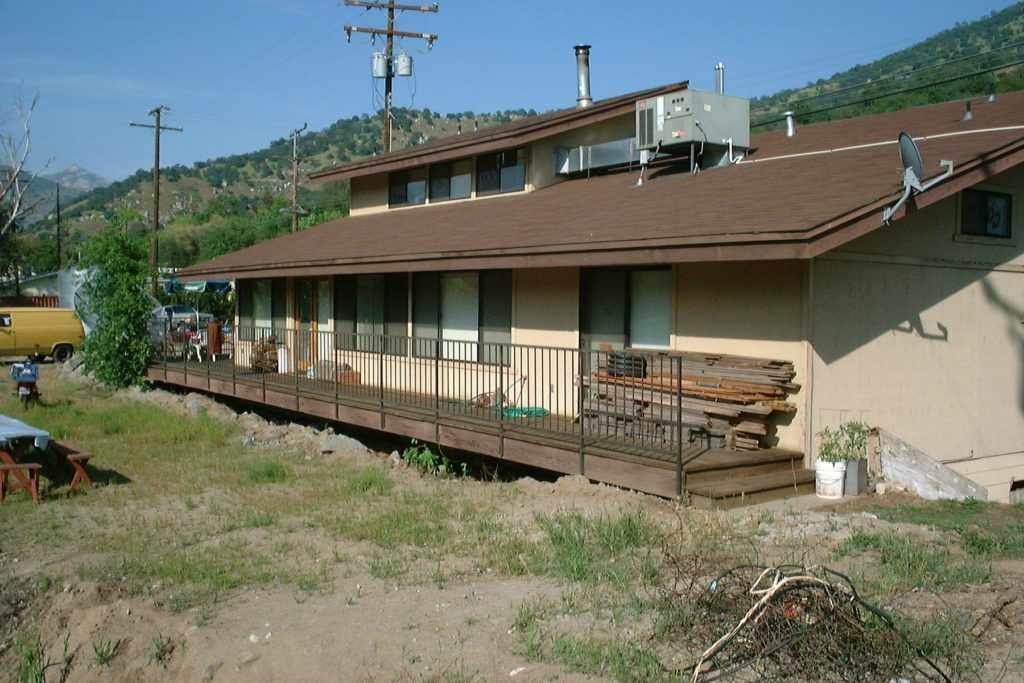
Having seen most of the town, we headed across the North Fork Bridge, and swung through the rodeo grounds, now called Lion’s Arena. It’s actually on the east side of the North Fork, across another small bridge. I purposely showed it on the west side when I made my map, because I thought it was confusing to have yet another bridge. Now I’m not sure that I even what to show it on the map, since it has nothing to do with the story.
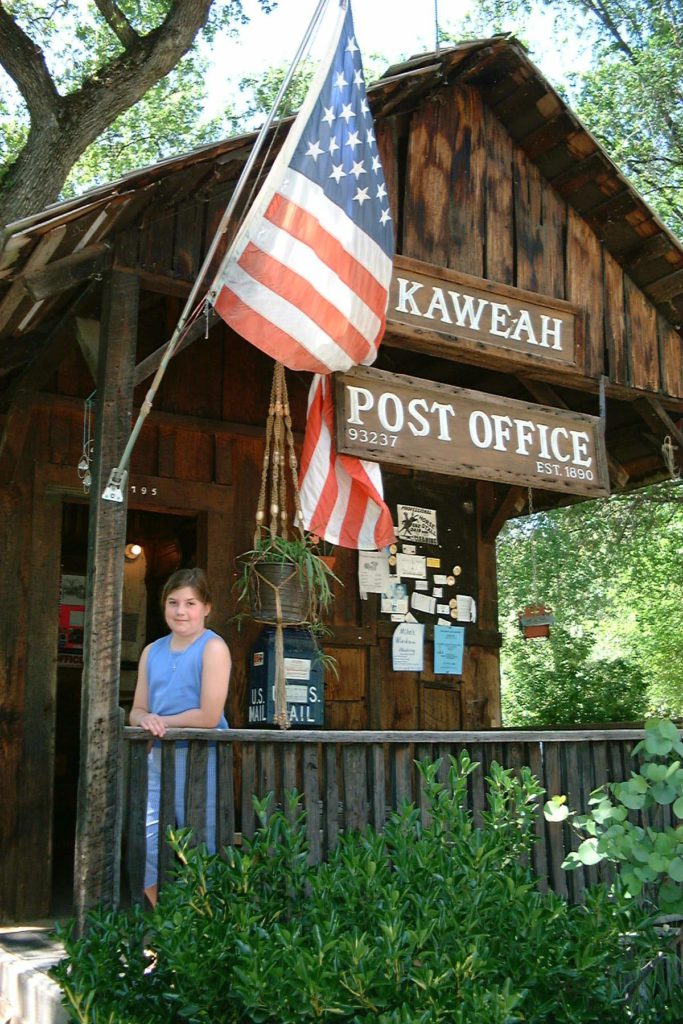
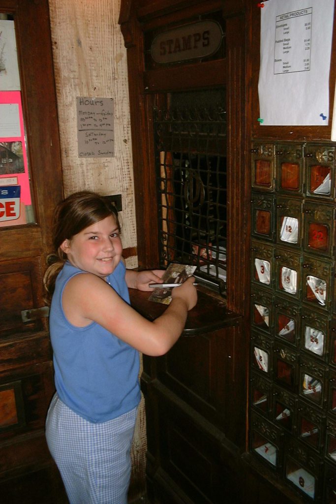
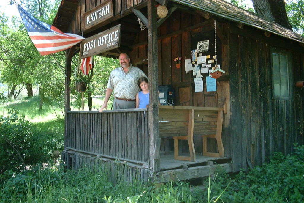
Continuing up North Fork Drive, we passed Trailer Isle for the moment and drove to the Kaweah Post Office. It, of course, was unchanged, since it’s an historical monument. I believe this is the smallest post office in the country. The public area is about the size of a phone booth! Danielle petted a cat named Lilly and sent a postcard to Linda while I took pictures.
On up the road, we crossed the spot where the Bailey Bridge had been. A Bailey Bride is a kind of temporary military bridge. This one ended up being not so temporary. It was installed during the 1950s (I think) and lasted until the flood of 1966 washed it out. It was then replaced with the bridge that Mott would have lived under.
On up the road about a half-mile we photographed the spot where Karp’s trailer might have been, turned back and stopped at Mott’s bridge to take photos.
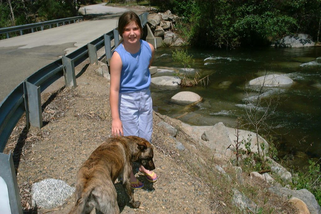
Then the strangest thing happened. As I was photographing Danielle in front of the bridge, a dog walked into the frame. He was very friendly (even if he did look like a hyena). He took an immediate liking to us, and wanted to get into the car. This is really weird, because the plot of “A Matter of Justice” centers on Danielle’s adoption of a stray dog. Eventually, after considerable wheedling, we said goodbye to the dog, who Danielle had named Blackie, and headed back to Trailer Isle.
There we met Julie and Kevin Pierce, the managers. In gratitude for letting us look around, I gave them an autographed copy of the manuscript.
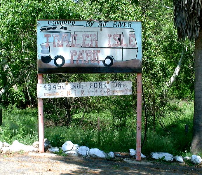
Trailer Isle is amazingly unchanged since the 1960s – even the sign hasn’t been painted. The permanent resident’s loop has had a few more mobile homes squeezed in, and there are cattle in the pasture, but all else remains the same. I was able to recognize several trailers, including the one that we briefly owned in space 10, and the one across the street that belonged to Kay Gregory.
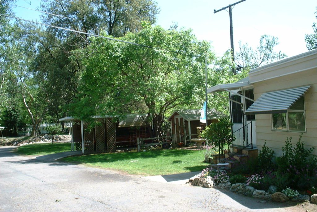
Our longtime location at number 17 (Danielle Deucer’s in the book) was now occupied by a mobile home, and a concrete parking pad had been poured across the middle of the lawn.
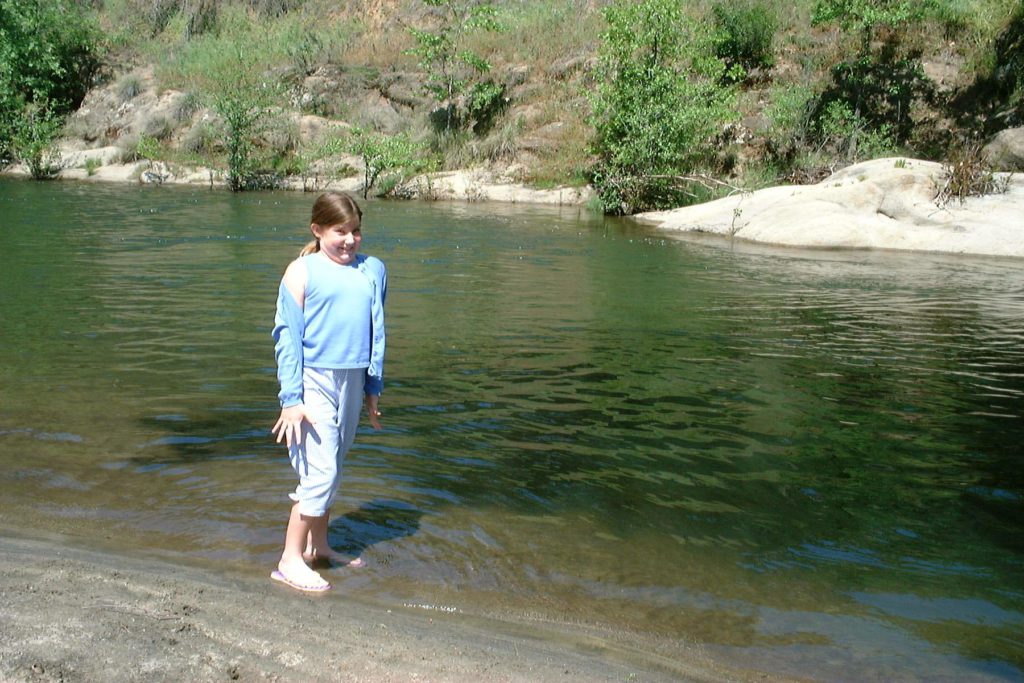
The swimming hole was pretty much the same, although it looked like a few floods had cleared it out. The water was running high. Danielle spent a while prospecting for iron pyrite grains. She also found an abandoned Matchbox car buried in the sand. It looked a lot like the ones I used to play with, but that would be just too weird. Finally we headed back to town to find the new library.
The library is now behind the elementary school, on the east side of the road. As we passed the playing field, I recalled the Halloween fair in about 1966, when, wearing a blond wig and dressed as Ilya Kuryachin of the Man From Uncle, I went into a fortune-teller’s tent, was mistaken for a girl, and told that someday I would meet a tall, dark handsome stranger! I’m still waiting.
The new library is somewhat larger and much nicer than the old one. It also has two computers, a feature I’m sure I don’t remember from 1968! They no longer have the copy of Huckleberry Finn that I read those many summers ago, but they did have a 1960 printing of To Kill A Mockingbird. It appeared to be in mint condition. If Danielle Deucer read it, she was the only one – it was in mint condition. Consistent with my novel, there were plenty of old Nancy Drews on the shelf.
The new librarian, Rita Pena, has held the position for sixteen years. She tried to find a photo of Esther Peck for me, but couldn’t turn one up. She said that she’d get one from Esther’s daughter and mail it to me. I told her that I’d send her a copy of the manuscript.
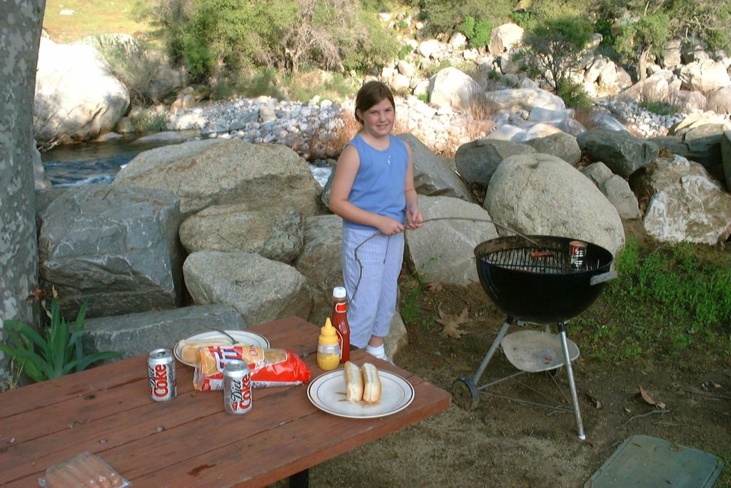
Now it was time to head up to the National Park boundary and check-in. The Buckeye Tree Lodge turned out to be quite nice – two concrete-block buildings right along the river beyond the Pumpkin Hollow Bridge. It’s actually the last structure before you reach Sequoia National Park. We had the only unit with a kitchenette. This fact and the barbecue out on the lawn got Danielle thinking about cooking dinner. Since the White Horse Saloon, although in perfect repair, is permanently closed, she talked me into it. After some rock hopping on the river, we headed back into town to buy hotdogs and other supplies at the Three Rivers Market. After a cookout and more rock hopping along the river, be made it a fairly early night.
Tomorrow we’ll head up into Sequoia National Park.
Tuesday, April 25, 2000
I arose while it was still dark, being somewhat still on East Coast time, and worked on this journal for a couple of hours. Later, Danielle joined me to write hers. I was impressed with the way she distilled the previous day down into the same highlights on which I have focused.

As the sun rose we went out to the river and took a panoramic shot of all 360 degrees, with Danielle in each picture.
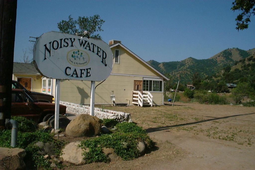
With the car packed, we headed down into Three Rivers for breakfast at the Noisy Water Café. I vaguely remembered the place. The waitress told us that it had been there since the 1930s, and that it was named the same in 1968. It’s impressive that it could have survived so long, because right outside are the pilings of the North Fork Bridge that was built in 1938 and washed out in the flood of 1955.
(The other place we used to eat breakfast was the Buckaroo Inn, down by
Metz’s, but I saw nothing that I recognized when we passed by yesterday.)
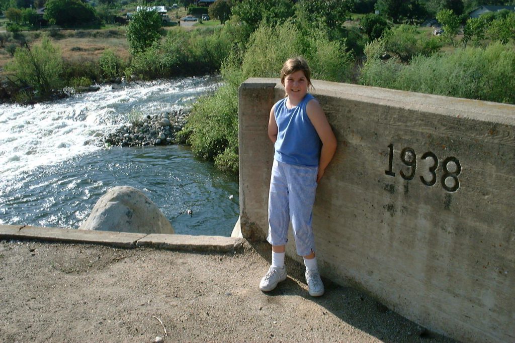
After a huge and delicious breakfast of eggs, omelets, pancakes, toast, bacon, hash browns, milk and coffee (well, I said it was huge) we headed back towards the park entrance. Unfortunately we forgot that we were going to get gas at the Chevron Station next to the Noisy Water Café. We remembered when we saw the park entrance sign that said there was no gas in the national park. So, after another round trip into town, we finally made it to the entrance gate.
The ranger advised us that the road was only open for a few minutes at the top of each hour, due to several miles of construction just inside the park. So we spent a pleasant half hour at the visitor center, looking at dangerous things in little glass jars. Another ranger in the visitor center sold us a workbook for kids that included puzzles, word searches, writing assignments and quizzes. By filling it out and picking up a load of litter, Danielle learned that she could earn a “Raven” award, which consisted of a patch to sew on a shirtsleeve. This was a great idea, as it gave her something to do while we waited for the road to open.
The road really is under construction. There’s only one lane for several miles, as they build retaining walls to hold up a new outer lane. I couldn’t tell if this was due to flood damage or just an improvement project.
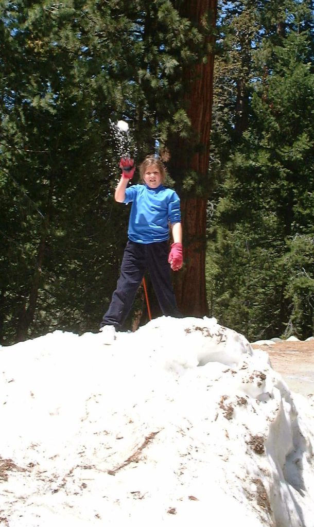
When we reached Giant Forest, Danielle was delighted by the enormous trees, and even more delighted by the snow that was lying in big patches by the road. At Morro Rock we climbed the first 5% of the way (just far enough to take a picture), then went back to the parking lot – Danielle lured by the snow, I dissuaded by the number of air molecules at 7000 feet!

Next stop was the General Sherman Tree, the largest living thing on the planet. We took two more panoramas at General Sherman, then had a snowball fight next to the parking lot.

Onward to Lodgepole, where we had a pretty good lunch at the snack room. Danielle finished her workbook, and we went to the visitor center to claim her patch. A nice ranger checked her work, and then made an announcement of the award over the PA system!
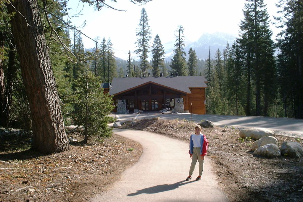
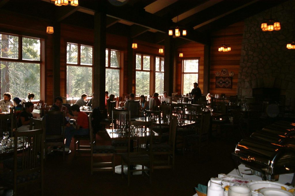
Another two miles brought us to the brand new Wuksachi Lodge, a beautiful complex atop a 7000-foot ridge overlooking the Sierras. Our room, number 127, was lovely. For $95 a night we got a bedroom and a sitting room, snow right outside, and a spectacular view. Dinner was in a dining room reminiscent of the historic park lodges. The food – Caesar salad, grilled salmon with an orange sauce, and asparagus – was top notch, but the atmosphere is casual. We’ll have to bring the Wedi here some time. We ordered box lunches for Wednesday, which we’ll pick up at breakfast time.
Wednesday, April 26, 2000
After some early snow play we had a nice breakfast in the Wuksachi dining room, picked up the boxed lunches and checked out, heading for Grant Grove.
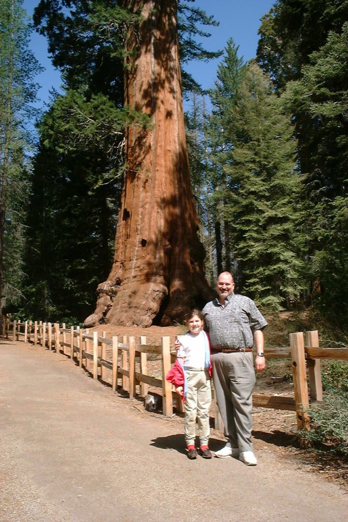
One of the big trees in this grove was named after then General (later President) Grant in 1865. In the 1890s, these sequoias were preserved by the creation of U. S. Grant National Park, later incorporated into Sequoia and Kings Canyon National Parks. (They were also preserved by the fact that their wood is really weak and brittle, making it next to useless for exploitation.) There is an excellent trail here that passes a lot of nice trees, and goes through a fallen log that was used as an army camp in the late 1800s.
I suppose in the interest of bipartisanship, there is also a General Robert E. Lee tree. (The subtlety of the naming of these trees was lost on me when I was a youngster. General Lee is the southernmost in the grove; General Grant is to the north.)
Nearby is Grant Grove Village. In the gift shop I bought Danielle a large chunk of amethyst crystals as a surprise and then we walked over to the visitor center. This is the best of the three visitor centers in the park. The highlight is a circular room the size of a giant sequoia trunk. In the center is a clear dome holding a single tiny seed. That seed has the potential to expand to 3 trillion times its current size!
Before noon we headed out the Big Stump Entrance of the park, and wound our way down through Badger to Visalia, and from there back to Los Angeles, arriving by 4:00 PM for an early dinner with Linda and her parents at El
Cholo.
Danielle and I agreed that although brief, it was an excellent and memorable trip.
Thursday, April 27, 2000
After several days retracing the locale of A Matter of Justice, today was my day to visit the setting of Everything In Its Path, in preparation to start A Stranger From Afar. After dropping Danielle off to spend two days at her grandparents’, I headed for Ventura County.
My first stop was at the new Chumash Interpretive Center at Oakbrook Regional Park. This park consists of many acres of wilderness, plus exhibits of Chumash culture and history, and even some cave paintings. Out in front there is a sculpture of a small, life-size tomol, the Chumash boat that was made of wooden planks sewn together. Oddly, there were some fancy bas-relief carvings inside it, but they were far too representational be of Chumash origin. The tour of the cave wasn’t available, but I enjoyed the exhibits, and met the director, Frank Winai
Lemos. He kindly offered to check the manuscript for accuracy.
The center can’t be more than a mile from where I used to live in Westlake Village. It’s on the other side of the hill, in an area that was wilderness fifteen years ago, but is now almost solid housing developments except for the park. I saw a sign advertising affordable luxury houses starting at only the high $700,000’s!
Also at the center I picked up a very useful brochure listing Ventura County museums. Following this and a web page from the Ventura County Historical Society, I headed for Fillmore. Unfortunately, route 23 was blocked by a Caltrans truck mishap where it winds over the mountains. After about fifteen I grew impatient and retraced my way back to Thousand Oaks, then out to the coast and Ventura.
At the Ventura County Museum of History and Art I was able to purchase all of the Chumash books I’ve seen on the Internet plus others, and some excellent historical maps. The docent in the gift shop was an elderly woman named Betty who lived in Somis during the St. Francis Dam disaster and remembered it clearly. She also knew Charles F. Outland, of course, and has an autographed copy of Man-Made Disaster. She was amazed when I told her that it was worth several hundred dollars.
From Ventura I drove up 126 to Santa Paula, the home of the main character in the book. It hasn’t changed much since I was last there. I visited the California Oil Museum, originally run by Union Oil, but now operated by the city of Santa Paula. An interesting docent there, who worked for Union Oil for many years, directed me up the street to an antique shop/art gallery/used bookstore named Mr. Nichols. The oil museum is an interesting
one. I learned how the oil pumps literally pull the oil out of the ground. There was also a display of antique motorcycles on loan from the Chandler collection. I
saw some late 20’s models of both a chrome-and-green Harley Davidson and a red Indian that I might be able to use in the book.
At Mr. Nichols I met John (I assume John Nichols). He had assembled an exhibit on the St. Francis dam disaster at the oil museum some time ago, and still had most of it in his shop. He let me look through a hundred or more old photos of the disaster in Santa Paula. I was amused to learn that my pen pal, Dave Hogan, from Santa Clarita, the head of the L. A. Grimm Society, had been there just the week before. What a small world it is. John also agreed to read the manuscript. I purchased a few more Santa Paula references and an old bottle dug up under the train station, then headed back to Malibu Canyon to have dinner with Linda at the Saddle Peak Lodge.
Friday, April 28, 2000
Since Danielle was at her grandparents and Linda didn’t have early meetings, I slept in and then headed for Santa Barbara. On the way I stopped in Thousand Oaks to see if Harold’s House of Omelets was sill there. It was, and was as delicious as ever. Football-shaped, and filled with whatever you want, they’re one of a kind. I had the special – bacon, green chilies, and sour cream. The same woman, albeit 15 years grayer, is still waitressing there. And she still doesn’t have any personality. I think she’s Harold’s daughter.
The drive to Santa Barbara was quick, and by noon the low clouds were beginning to clear off. My first stop was at the Santa Barbara Museum of Natural History. This is a very nice, though not large, building located immediately behind the Santa Barbara Mission, on the hills above town. A 72-foot-long blue whale skeleton was being restored out front. Inside there were many interesting exhibits, including taxidermy and dioramas from 1927 that were very well done. I need to find out if they were in the same building in 1927 (I doubt it).
There was also a lot of information on the Channel Islands, and an entire room of Chumash exhibits, my main reason for going. I bought quite a few
good books in the bookstore.
Driving down into the town, I stopped at the Santa Barbara Museum of History. It’s located in an old (and large) Spanish adobe. Unfortunately almost all of the exhibits dealt with the Spanish occupation – nothing before or after. There were also some truly hideous surrealist paintings of the missions, done by a friar. I did find some more interesting books in the shop, including a young adult fiction that is about a sailor from Cabrillo’s fleet who is reported as killed but actually joins the Chumash.
At first this seemed dangerously close to the plot of my next novel, A Stranger From Afar, but it’s pretty thin and
proved to be quite lousy.
I drove back on 126, stopping at the museum in Fillmore (which was still closed) and following the path of the 1928 flood. The valley widens and narrows several times, which must have greatly affected water level and speed. It’s amazingly far, considering how much damage occurred downstream.
In town I joined up with Linda and we met Danielle and her grandparents for a garlic bread gorge at The Smoke House.
Tomorrow we head back to Orlando. Linda has a non-stop, but Danielle and I go through Salt Lake City, arriving late. Fortunately we have Sunday to get back on schedule. This has been an excellent trip for everyone, with many different agendas: work for Linda, grandparent time for Danielle, and research plus a visit to childhood haunts for me.
© Steve Alcorn
April 2000